
Detailed image description
Coloured site-development plan, labelled in Hebrew as a Peace Campus building plan at 1:500. Low building footprints are grouped along the upper, left and lower edges of a planted site. Paved courtyards connect the groups. A curved access road and two circular junctions occupy the upper and left parts. Winding pedestrian paths cross a large central green landscape and curve around an open, amphitheatre-like space at the right. A blue line marks the site boundary.
Detailed image description
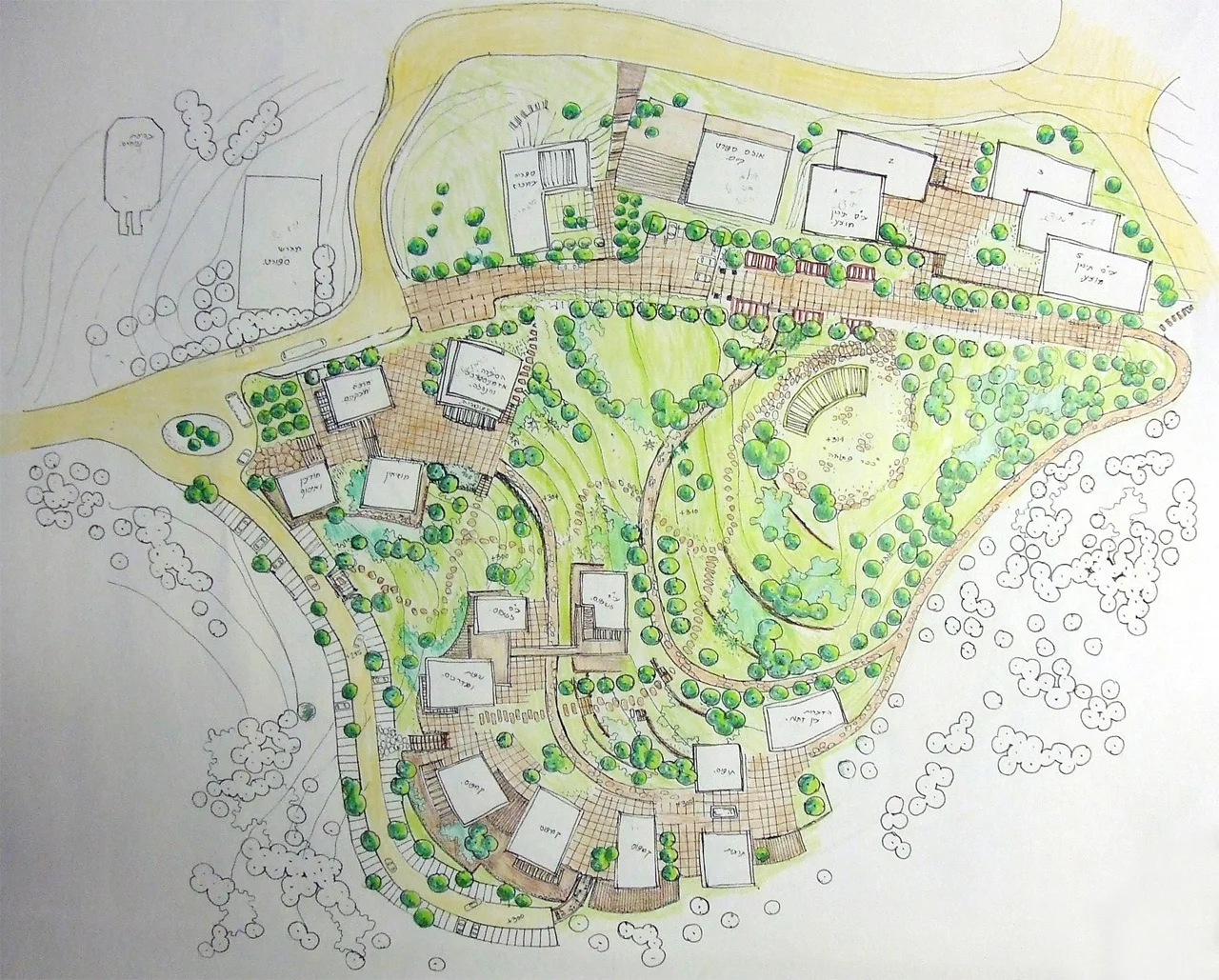
Hand-rendered site plan. Small groups of rectangular buildings are arranged along the upper edge and around a curved lower edge. Paved courts link the buildings. A broad planted landscape fills the centre and right, crossed by curved paths and an amphitheatre-like clearing. A road crosses the upper portion, and trees line both the road and the internal paths.
Detailed image description
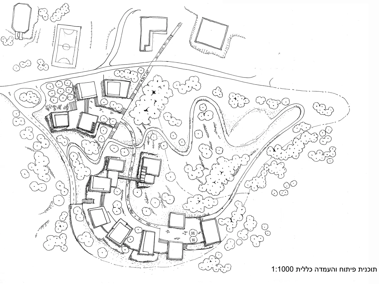
Black-and-white site plan labelled general development and placement plan, 1:1000. Separate building groups follow a curved route from the upper left around to the bottom of the site. Paths connect paved courts between the buildings. Trees and winding paths occupy the larger central and right-hand landscape. A sports court and additional building footprints appear beyond the road at the top.
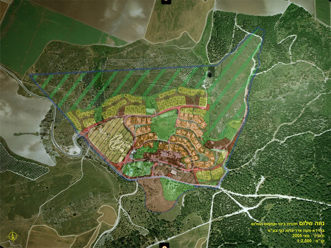
Detailed image description
Aerial landscape photograph with a coloured planning overlay. A blue outline encloses an elongated site. Roads and paths shown in red connect clusters of yellow and orange building plots around green open spaces. The upper part contains broad strips of green landscape. Agricultural fields lie to the left; wooded hills and winding tracks surround the right and lower edges. The Hebrew title identifies Neve Shalom, and the sheet shows May 2005 and a scale of 1:2,500.
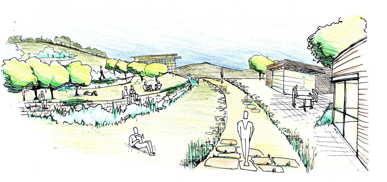
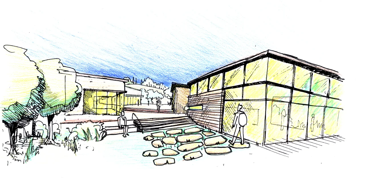
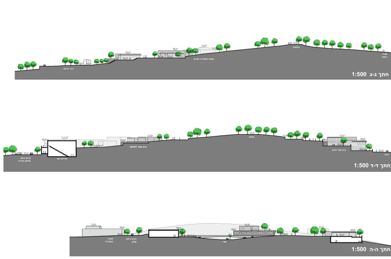
Detailed image description
Three landscape sections at 1:500. Each shows the ground as a solid grey profile with low buildings, paths and trees placed along its changing level. In the upper section, the terrain rises from left to right before flattening. In the middle section, buildings sit on either side of a broad planted rise. In the lower section, several low structures follow a more level profile that falls slightly at the right.

Detailed image description
Long landscape section, labelled B–B at 1:1000. The land rises gently from the left to a central plateau with low structures, then slopes down towards the right. Rows of trees follow the descending ground. Horizontal reference lines and vertical dimension markers relate the structures to the terrain.